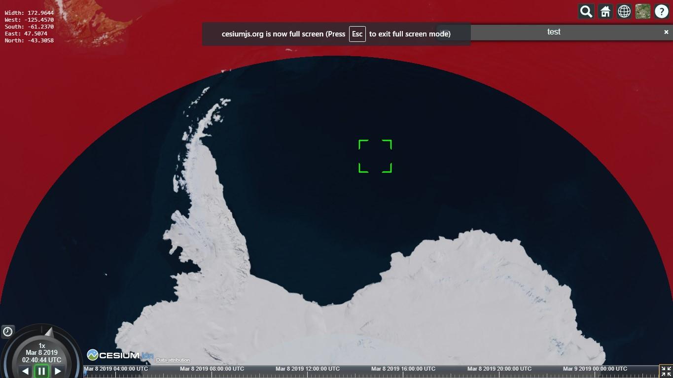
I think the rectangle itself (its four corners) are computed correctly, but the rendered rectangle on the globe adheres to the curved surface so there will be areas missing like that on the poles.
I don’t think you can specify the arc type on a rectangle but notice the difference when you change the arcType on the last polygon here, from RHUMB to GEODESIC:
I think what you might want to visualize here is a geometry that doesn’t adhere to the surface, which I think would be a CoplanarGeometry:
I’ve been having similar issues with computeViewRectangle not necessarily just near the poles, but as you get further from the equator it gets skinnier until it is a line. It is especially inaccurate when north is not up and the camera is pitched. I ended up getting what I wanted with my own custom function (I’m drawing the rectangle in d3.js on a little mini globe but you could use the array of coordinates however you wish). I’m sure there is a more elegant way to write this but it was my first pass and I haven’t refactored. Also, if you have terrain you should use pickPosition instead of pickEllipsoid but it still seems to be working (maybe just less accurate). If the bottom right or bottom left are in outer space it returns undefined.
getCustomViewRectCoordinates() {

let canvas = scene.canvas,

w = canvas.clientWidth,

h = canvas.clientHeight,

tryPixel = 0;

let topLeft = new Cesium.Cartesian2(0, tryPixel);

topLeft = viewer.camera.pickEllipsoid(topLeft, scene.globe.ellipsoid);

let topRight = new Cesium.Cartesian2(w, tryPixel);

topRight = viewer.camera.pickEllipsoid(topRight, scene.globe.ellipsoid);

let bottomLeft = new Cesium.Cartesian2(0, h);

bottomLeft = viewer.camera.pickEllipsoid(bottomLeft, scene.globe.ellipsoid);

let bottomRight = new Cesium.Cartesian2(w, h);

bottomRight = viewer.camera.pickEllipsoid(

bottomRight,

scene.globe.ellipsoid

);

while (

((!topLeft && bottomLeft) || (!topRight && bottomRight)) &&

tryPixel < h

) {

tryPixel += 1;

topLeft = new Cesium.Cartesian2(0, tryPixel);

topLeft = viewer.camera.pickEllipsoid(topLeft, scene.globe.ellipsoid);

topRight = new Cesium.Cartesian2(w, tryPixel);

topRight = viewer.camera.pickEllipsoid(topRight, scene.globe.ellipsoid);

}

if (topLeft && topRight && bottomLeft && bottomRight) {

topLeft = Cesium.Cartographic.fromCartesian(topLeft);

topRight = Cesium.Cartographic.fromCartesian(topRight);

bottomLeft = Cesium.Cartographic.fromCartesian(bottomLeft);

bottomRight = Cesium.Cartographic.fromCartesian(bottomRight);

let coordinates = [topLeft, topRight, bottomRight, bottomLeft, topLeft];

return coordinates.map(c => [

Cesium.Math.toDegrees(c.longitude),

Cesium.Math.toDegrees(c.latitude)

])

}

}