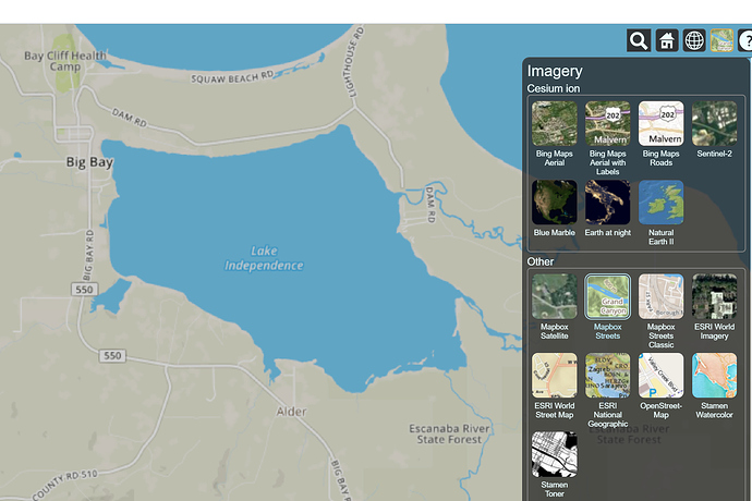
Is there an imagery provider for 3D terrain that will show a topo map? I've been searching the list of imagery providers for Cesium, but I can't find one.
What about the following?
https://services.arcgisonline.com/ArcGIS/rest/services/World_Topo_Map/MapServer/0
var esri = new Cesium.ArcGisMapServerImageryProvider({
url : 'Can I put the URL here?'
});
So I got this to work, but the dynamic LOD (level of detail) that Cesium uses as you zoom in/out and pan the camera around causes some problems. Specifically, some tiles are one LOD don't match tiles at another LOD, and Cesium will mix LOD levels in a single camera view. Consequently, you get images where you can see the tile boundaries, which makes the map look ugly. I guess I should file this as a bug with Cesium.
Hey Spencer,
Yeah if you haven’t already please file a bug! Especially if you can get a Sandcastle example to reproduce it. You might find the Cesium Inspector helpful:
Which will let you pause LOD updating as well as visualizing what level each tile is at.
