Millimeter precision point clouds running in Cesium

We’re really excited to share this new showcase with Trimble! We’ve got:

  • Millimeter precision point clouds.
  • SketchUp 3D models, point clouds, terrain and imagery data fusion.
  • Adaptive subdivision for non-uniform point clouds.
    This is NOT a photograph or a 3D model, it’s a point cloud.

Read more about this demo below! There’s also a video showing it running in action.

Here I am digging up an old topic!
I do both terrestrial LIDAR scanning and aerial photogrammetry, and blend together point clouds.
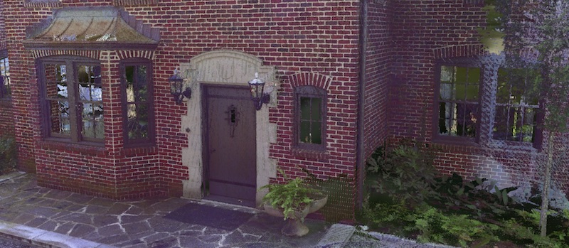
I’ve generated 3 point clouds with all aerial data that look like absolute garbage in cesium and look AMAZING in cloud compare and Nubigon, amongst other viewers. The point size is massive, and zooming in turns it to a kind of mush. Anyone else experience this?

Thanks
Joe