Uploaded the geotiff via Ion, first time using this workflow. Went through the quickstart and adding datasets tutorial pages. After adding the geotiff and double clicking on it in the outliner, it just zooms out to center on the globe itself. Am I doing something wrong or is there an issue with the geotiff?
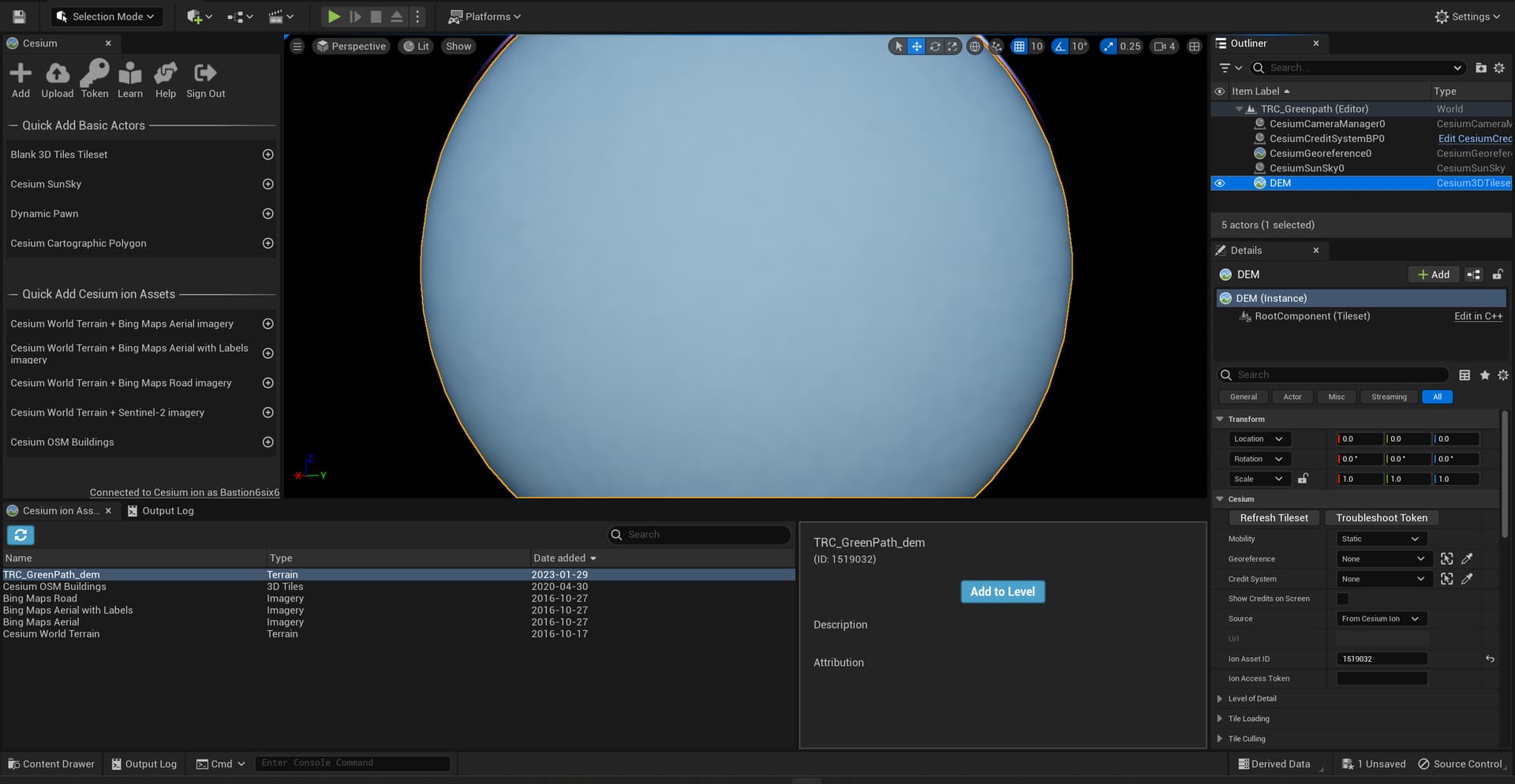
Terrain generated by Cesium ion always covers the entire globe, even if there is only detail in a small section. Otherwise, part of the globe would be missing. So when you double-click in the Outliner, it zooms to the terrain’s bounding volume, which is the entire globe.
The easiest way to zoom to the right place is to add a cube to the level, attach a Cesium Globe Anchor component to it, and then set the globe anchor’s longitude/latitude/height to a location within the area covered by your terrain. Then, double-click the cube in the outliner.
Kevin