Hi,
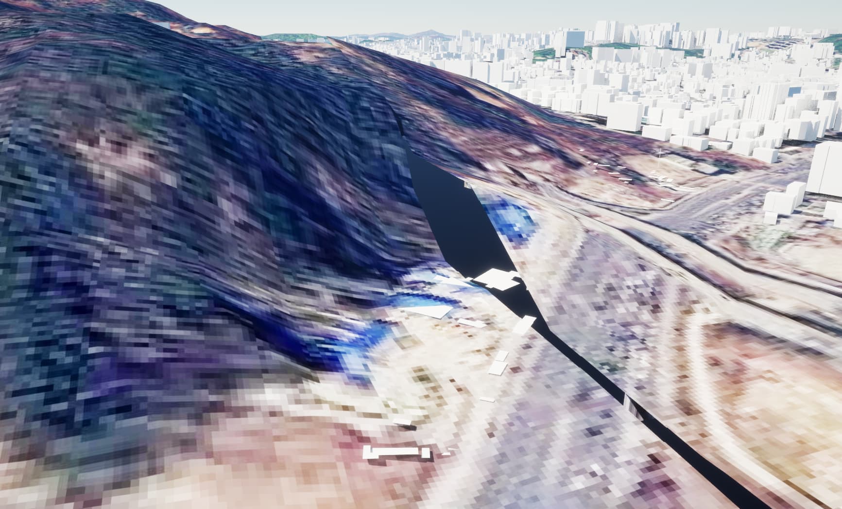
I’m trying to make terrain using GeoTiff files with different DTED levels. In the screenshot below, I want to make right side as DTED level1, left side DTED level2. So I tried with Cesium Cartographic Polygon. but at the boundary of terrian, there are gaps between DTED1 and 2 terrains. How can I make terrain connected naturally?
@netcus11 There are unfortunately not a lot of tools to use to fix this on the Unreal side - the problem seems to simply be that you’re trying to join up files with different elevation data! Level 1 has a resolution of about 100 meters, whereas Level 2 has a resolution of about 30 meters - so you’re going to run into situations where the Level 2 tile has elevation information that the lower resolution Level 1 tile just doesn’t include. And so you get gaps!
Might I ask why you’re looking to use different DTED levels on the same terrain? Why not just create the terrain from the DTED level 2 data?