Hi,
According to Table 8 in the OpenGIS® Web Map Server Implementation Specification, there are many request parameters of a GetMap request as follows.

However, as Cesium for Unreal: UCesiumWebMapServiceRasterOverlay Class Reference shows, users are only allowed to set the BaseUrl and Layers in CesiumWebMapServiceRasterOverlay, with no way to set other parameters, whether mandatory or optional, such as STYLES,CRS,BBOX,etc.
I tried adding some parameters to the BaseUrl, but it didn’t work.
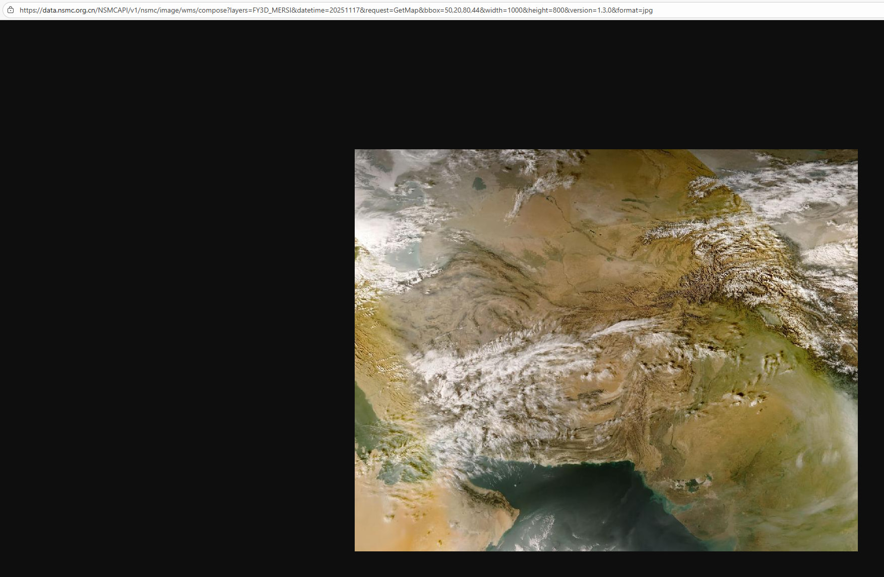
For example, the URL to access an imagery is as follows:
https://data.nsmc.org.cn/NSMCAPI/v1/nsmc/image/wms/compose?layers=FY3D_MERSI&datetime=20251117&request=GetMap&bbox=50,20,80,44&width=1000&height=800&version=1.3.0&format=jpg
The imagery can be successfully accessed in a browser with the URL, but how can it be successfully accessed by CesiumWebMapServiceRasterOverlay?
Any help or explanation is appreciated.


