I believe (someone feel free to jump in and correct me if I’m wrong), that CesiumJS needs your tileset to be defined in geographic (lat/lon) or ECEF coordinate system. Then you can switch from the globe view to 2D or Columbus-View, and it will project the coordinates for you. However, when you construct the Cesium3DTileset object, make sure to use the projectTo2D option in the constructor.
If you set it up that way, you should be able to view your data in 2D or Columbus-View mode.
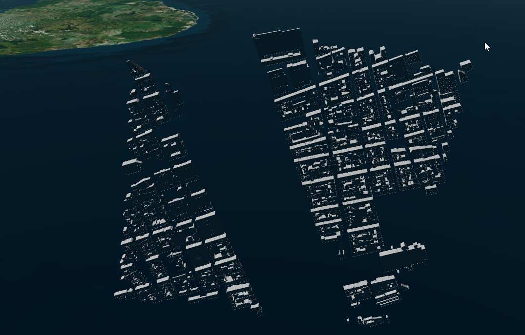
yeah I can make it work using ECEF coordinates (and optional region boundingVolumes), but the question is can CesiumJS visualize the tileset with projected coordinates (like ITowns does). And if not what’s needed to get his working?
There are many usecases where we want to visualize some country data (using a specific projection) and not want to use global ECEF coordinates
I don’t think CesiumJS supports projected coordinates the way ITowns does, unfortunately. A search for _projectTo2D in the codebase is a decent heuristic for the scope of changes that would need to occur to support projected coordinates by default (spoilers: very non-trivial) - it’s probably going to be a lot easier to just preprocess any projected coordinate tilesets to convert them to ECEF, if that’s a possibility.