I try to load geojson (type MultiLineString), Via GeoJsonDataSource.load method.
the polylines that were created has penetrated the surface, I want them to stop at surface height.
start position should be above the ground and the end position on the ground.
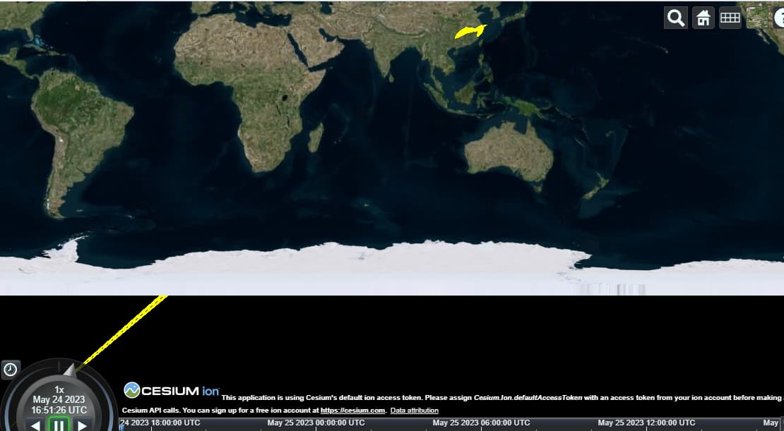
I want to preserve the ‘3D behavior’ - when I change to globe view I could see the polylines’ height - so clamp to ground isn’t an option

I added the code below for reproduce in sandcastle:
const viewer = new Cesium.Viewer("cesiumContainer");

viewer.dataSources.add(
    new Cesium.GeoJsonDataSource('test').load(**Here we load the geojson I added below**)
  );
MultiLineString.geojson (105.4 KB)
here is a sandcastle example:
MultiLineString example.