Hi,
I try to docede quantized mesh from server side and I try python libraries:
quantized_mesh_tile, quantized_mesh_encoder
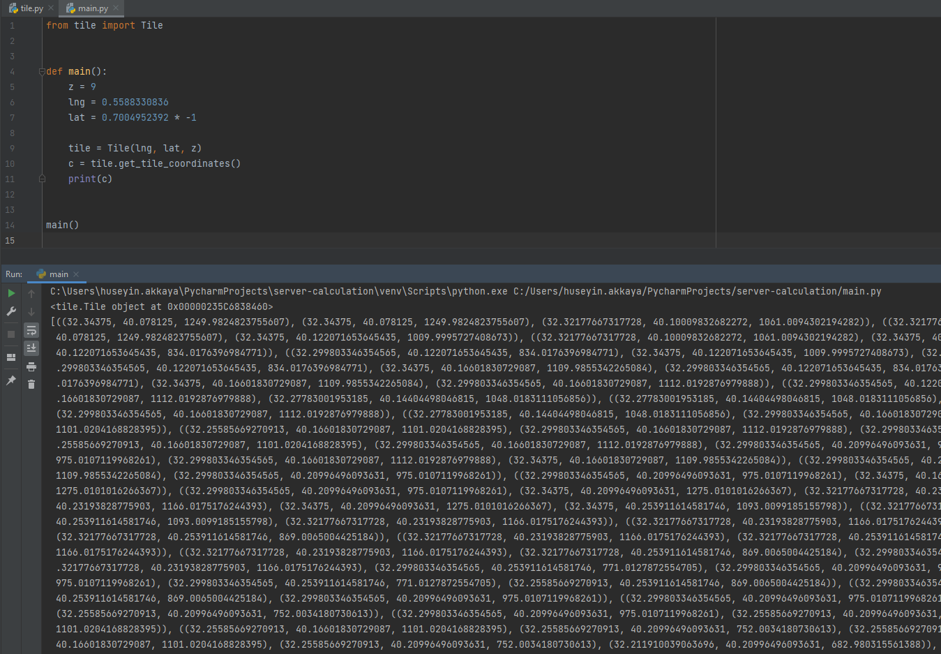
I create TerrainTile like image below, but when I convert center cartesians with cesium Cartographic, I get latitude as minus:
is anybody try this ?
I can unpack terrain file with:
from quantized_mesh_tile import TerrainTile
but latitude still comes minus so I multiply latitude with -1 and I get correct results 
@akkaya.hu
I am happy to see that you found a solution! Please do not hesitate to reach out if you have any other questions.
Best,
Sam


