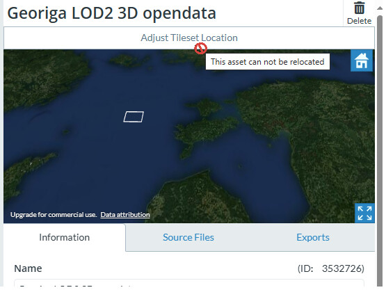
Importing these GML fles which uses EPSG:3059 the resulted data got flipped XY and asset is in wrong location. Why?
Thank you for bringing this to our attention. We’ll try to figure out what’s going wrong.
A solution has been found, and a PR created. I’ll keep you appraised of when the fix makes it into production.
So it is not data issue?
Problem is none of the other provided formats are usable in Cesium. SKP is georeferenced and could be handy but not supported. OBJ has metadata but no idea how to import it.
I am using Microstation and it doesn’t recognize geolocation from SKP either.
Sort of.
CityGML historically uses traditional GIS coordinate ordering, regardless of specified SRS. It’s only recently - since GDAL 3, to be specific - that data has started showing up that uses embedded ordering instead of GIS. There’s nothing in the file to suggest which is correct, though.
So it’s kinda a data issue, but it’s got history, and the app should give the user the tools to compensate for that weirdness in the wild.
The PR adds the option for the user to use the embedded SRS ordering during upload. It will hopefully be released today, after internal testing.
This sounds exciting. Can’t wait.
- Support for other CAD formats to 3D Tiles, such as Navisworks, MicroStation, and SketchUp.