Hi @Sarah_Osay,
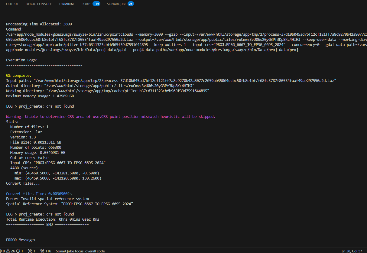
Thanks for your patience. Unfortunately the code PROJ:EPSG_6667_TO_EPSG_6695_2024 can’t be used directly in this way (it doesn’t seem to be possible at all to simply “swap in” this code for existing EPSG codes). And since there does not appear to be an EPSG code corresponding to height relative to the new JPGEO2024 geoid, there is no simple way to pass the desired information to proj.
I’ve been experimenting a bit and believe I’ve found a command that works:
./bin/pointclouds --input <path/to/laz-file> --output <path/to/output/> --input-crs 'COMPD_CS["JGD2011 / Japan Plane Rectangular CS VII + unknown",PROJCS["JGD2011 / Japan Plane Rectangular CS VII",GEOGCS["JGD2011",DATUM["Japanese_Geodetic_Datum_2011",SPHEROID["GRS 1980",6378137,298.257222101,AUTHORITY["EPSG","7019"]],AUTHORITY["EPSG","1128"]],PRIMEM["Greenwich",0,AUTHORITY["EPSG","8901"]],UNIT["degree",0.0174532925199433,AUTHORITY["EPSG","9122"]],AUTHORITY["EPSG","6668"]],PROJECTION["Transverse_Mercator"],PARAMETER["latitude_of_origin",36],PARAMETER["central_meridian",137.166666666667],PARAMETER["scale_factor",0.9999],PARAMETER["false_easting",0],PARAMETER["false_northing",0],UNIT["metre",1,AUTHORITY["EPSG","9001"]],AXIS["Northing",NORTH],AXIS["Easting",EAST],AUTHORITY["EPSG","6675"]],VERTCRS["JPGEO2024 Height",VDATUM["JPGEO2024"],CS[vertical,1],AXIS["gravity-related height (H)",up,LENGTHUNIT["metre",1]],GEOIDMODEL["PROJ jp_gsi_jpgeo2024.tif"],USAGE[SCOPE["Geodesy, engineering survey."],AREA["Japan - onshore mainland - Hokkaido, Honshu, Shikoku, Kyushu."],BBOX[30.94,129.3,45.54,145.87]],ID["EPSG",6695]]]'
Here’s a “before and after” comparison:

I had to manually construct a WKT string (most of which I copied from the log output of pointclouds without the –input-crs argument) and explicitly specify the newer grid shift file–note the GEOIDMODEL portion in the string. I wish there were a simpler way to accomplish this, but I haven’t found a way. Please feel free to test this out and let me know how it works for you.
I realize this is probably not an optimal solution for general use. Our team will have to discuss options to make this simpler. In the meantime, we’ll wait for your feedback and iterate from there.