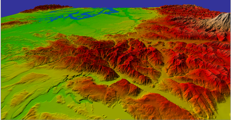
how to render terrain data like the picture abovve.l want to add some geoanalysis function in the globe. thanks!
how to render terrain data like the picture abovve.l want to add some geoanalysis function in the globe. thanks!
Hello which data do you send to Cesium? TypedArray, Images ?both
You can prerender a set of picture tiles, place it on your server and pass the url to Cesium Imagery Provider.
You can write your own Imagery Provider which really loads heighfield tiles, not bitmaps, and calculates bitmaps on-the-fly from the relief data. Or more generally, you can load and use any data to calculate map tiles.
Alexei